
Rand McNally State Maps: North Carolina And South Carolina | (2 Maps)
Product Score
See total with duties & tax
Select location for accurate pricing, availability, and delivery estimates
Delivery by: ![]()
Ships from: Snapklik.com
Warehouse location: New York
Backorder
Cancel for any reason at any time until your order shipped. Once your order has shipped, you may return your order. For details, please review our Returns and Cancellations policies. Special order items may not be eligible for cancellation.
Most items can be returned within 15 days of receipt for a refund of the product cost less return shipping. Shipping, duties, and taxes are not refundable. For details, please review our Returns and Cancellations policies.
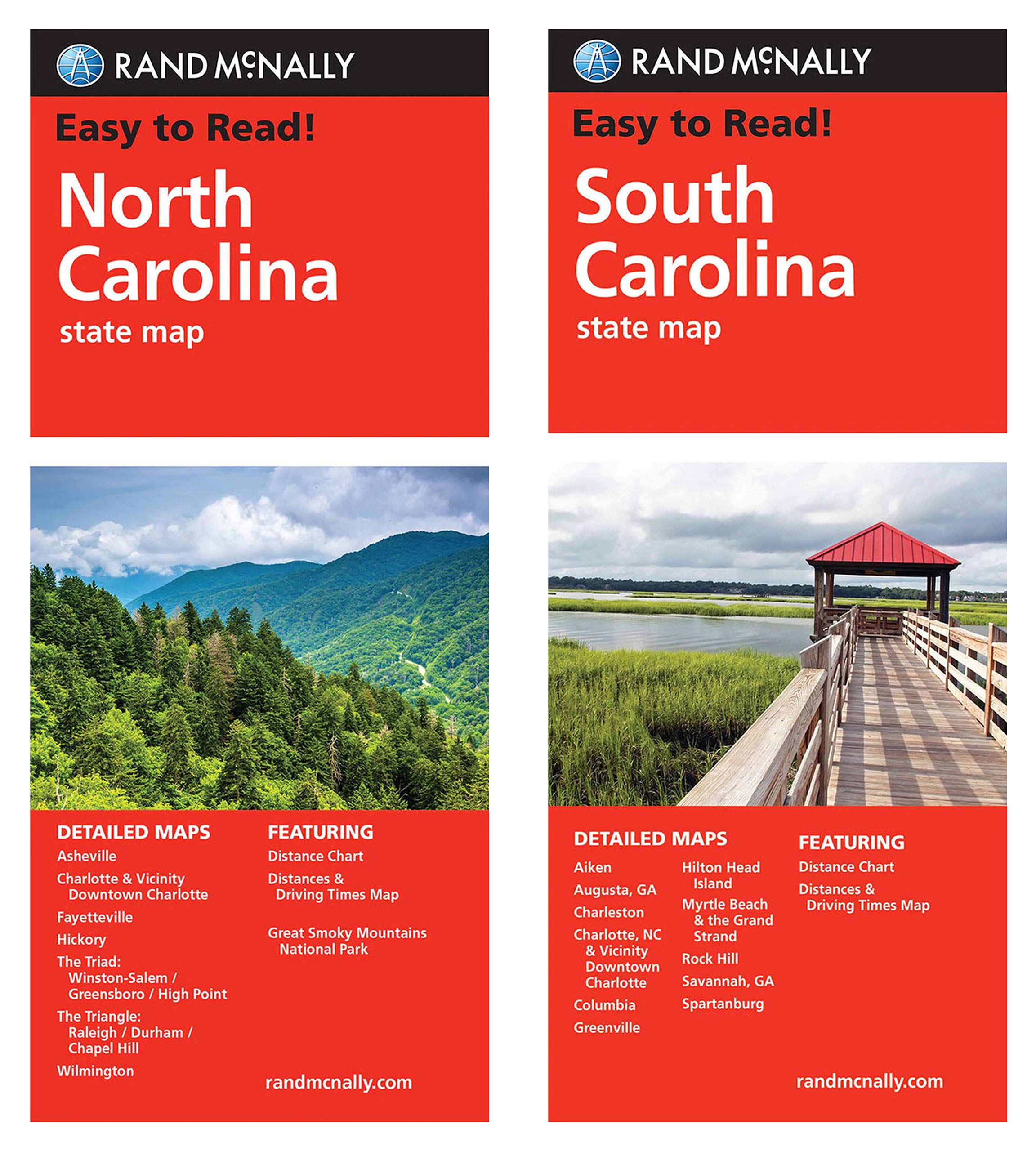
Rand McNally's Easy To Read State Folded Maps are a must-have for anyone traveling in and around these states, offering unbeatable accuracy and reliability at a great price. Their trusted cartography shows all Interstate, U.S., state, and county highways, along with clearly indicated parks, points of interest, airports, county boundaries, and streets. The easy-to-use legends and detailed indexes make for quick and easy locations of destinations. Rand McNally folded maps have been the trusted standard for years.
| Item weight | 0.1 kg |
| SKID | 07F74PC7Q7UC5 |
| Manufacturer | Rand McNally |
| Part number | Folded Maps |
| UPC | 617390987646 |